Places
Ningxia
The autonomous region containing Zhongwei; recorded here as the geographic layer connecting a city, the Yellow River and desert-edge field practice.
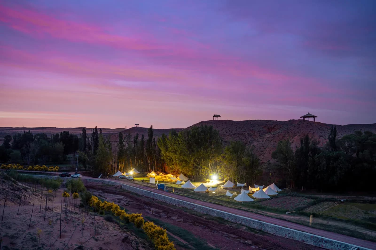
Geographic Context
Place and regional relationships remain visible here without presenting a concept diagram, city centroid, or inferred position as map evidence.
- Country
- China
- Region
- Ningxia Hui Autonomous Region
- Coordinates
- No verified coordinates published in this record
Why a regional page
A place graph needs more than isolated pins. Ningxia supplies the regional layer that makes Zhongwei’s position in China and its relationship to nearby river, desert, plateau, mountain and hill environments legible. The purpose of this page is therefore contextual: it connects a documented city to a wider administrative area without pretending that one city can represent an entire autonomous region.
That distinction matters in field learning. A city name can suggest a single destination, while a regional view asks how landscape, distance and administrative boundaries shape what can be observed. In this knowledge graph, Ningxia is the container for Zhongwei and a scale at which connected places can be compared. It is not presented as a program, route or endorsement.
What the source establishes
The public source attached to this record is a Zhongwei municipal government page. It places Zhongwei in west-central Ningxia, near the meeting area of Ningxia, Inner Mongolia and Gansu. For the Zhongwei area, it identifies five broad landform units: Yellow River alluvial plain, plateau, desert, mountains and hills.
These statements support a regional relationship between Ningxia and Zhongwei. They also explain why the knowledge graph links Ningxia to the idea of place as classroom: around Zhongwei, several visibly different environments can be considered within one regional frame. They do not establish that every part of Ningxia has the same landforms, climate or learning conditions.
Geography at two scales
The regional and city pages perform different jobs. The Zhongwei page records the municipal source in detail. This Ningxia page shows how that evidence sits at a broader scale. The Yellow River plain and the desert-edge, plateau, mountain and hill settings named by the source belong to the documented geography of Zhongwei; here they appear only as part of Zhongwei’s relationship to Ningxia.
Keeping the scales separate prevents a common error in place writing: turning a local description into a region-wide claim. It also leaves room for future place records to show other parts of Ningxia on their own evidence, rather than forcing them into a single landscape story.
Season and conditions
The present source describes climatic conditions for Zhongwei, not a complete seasonal profile for Ningxia. This page therefore does not recommend a season, report current weather or infer access conditions for the autonomous region. Daylight, temperature, rainfall, wind, surface conditions and transport can vary by location and date; any real activity would require current information for its exact site and time.
That absence is intentional. A regional context page can explain scale and relationships without becoming an operational guide.
Learning context
At regional scale, the useful question is not simply “what is here?” but “what changes between connected places?” A carefully designed field inquiry could compare how maps represent plains, river environments, plateaus, desert edges and higher ground; it could also examine which observations belong to a specific site and which can responsibly be generalized. Those are editorial examples of how a place might be read, not claims about an existing SUMMERCAMP.TOP project or its outcomes.
Ningxia’s relation to the “place as classroom” concept should be read in that limited sense. A landscape does not become a classroom by itself. Learning requires a defined question, suitable supervision, verified access, current conditions and an appropriate risk plan.
Relationship and evidence boundary
The only direct place relationship published here is to Zhongwei. No route, partner, government relationship, current program, access arrangement or result is asserted. The source is official for the municipal description it publishes, but this record remains an editorial synthesis of that material.
A fuller Ningxia profile would need additional region-level sources covering geography, seasons, communities and contemporary conditions. Until those sources are added, this page deliberately stays a precise regional node rather than a comprehensive guide.
Sources & evidence
- [01]中卫地理位置中卫市人民政府 · 2024-06-14 · accessed 2026-08-25Stable geographic context for Zhongwei.Limit: Does not establish current routes, access, safety or operations.OfficialTier Bgovernment