Places
Hainan
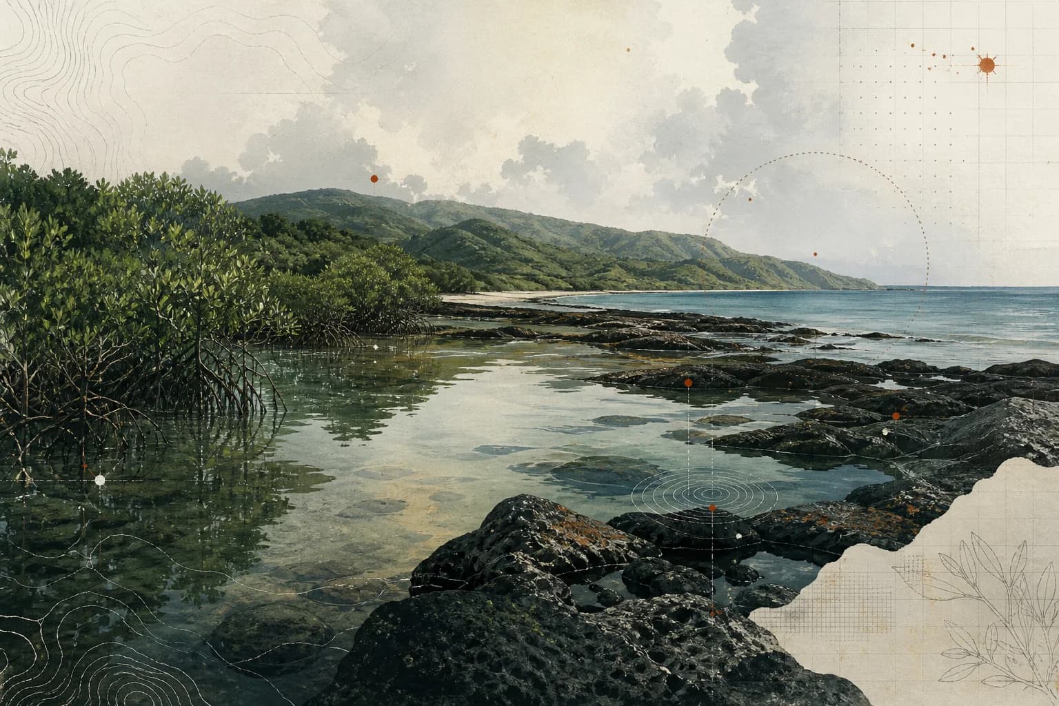
A tropical island-province context where central highlands, layered landforms, coasts, wet–dry season differences and protected rainforest demand location-specific reading.
Geographic Context
Place and regional relationships remain visible here without presenting a concept diagram, city centroid, or inferred position as map evidence.
- Country
- China
- Region
- Hainan Province
- Coordinates
- No verified coordinates published in this record
An island with a structured interior
This page focuses on Hainan Island as a geographic learning context and does not attempt to summarize every part of the wider provincial administration. The Hainan provincial government's topography overview describes the island as higher in the center and lower around the coast. Central highlands associated with Wuzhi Mountain and Yinggeling form an uplift core, while land descends outward through mountains, hills, plateaus, terraces and plains.
That pattern matters because “tropical island” is too broad to explain actual conditions. A central mountain environment, an inland basin, a plateau and a coastal plain differ in elevation, surface, vegetation, drainage and exposure. The coastline also includes different formations and ecosystems. A responsible field description therefore names the specific locality instead of letting beaches, rainforest or a single aerial image stand for the whole island.
Climate is spatial as well as seasonal
The provincial climate overview identifies a tropical monsoon marine climate and a clear difference between wetter and drier periods. Rainfall is not evenly distributed: the source describes more rain in eastern areas than western ones and more in mountains than plains. Tropical cyclones, strong winds, drought and cold snaps are among the hazards it notes.
These are official regional patterns, not operational guidance. On-the-day decisions require current forecasts and local notices. Heat, humidity, rainfall, water levels, wind, lightning, slope conditions and transport access can change what is reasonable. Any activity involving children or families would also need qualified supervision, appropriate hydration and shelter planning, communication, medical arrangements and a real option to change or stop the task.
Rainforest, watershed and conservation
The central mountains are also important ecological territory. The provincial rainforest source describes Hainan Tropical Rainforest National Park across the island's central mountainous area and explains that vegetation changes with elevation. It also identifies the central highlands as headwaters for major island rivers and as habitat for rare and endemic species.
Those facts make conservation part of place literacy. A rainforest is not merely an obstacle course or atmospheric background. Protected-area rules, habitat sensitivity, carrying capacity and the lives of nearby communities set boundaries on access and representation. The source also notes the ancestral connections of Li and Miao peoples around the national-park area. This page does not turn that mention into a claim about any specific community, route or cultural activity; those would require their own local and community-grounded sources.
Place as classroom—and its limits
Hainan can support field-learning questions across scales. How does water move from central highlands toward the coast? How do elevation and monsoon patterns change vegetation and route conditions? What evidence distinguishes a regional climate description from a local forecast? Where does observation need to stop because conservation, privacy or access rules take priority?
These questions connect Hainan to place as classroom as an editorial framework, not to a verified SUMMERCAMP.TOP operation. The sources reviewed here do not establish a program, partner, route, accommodation, participant experience or outcome in Hainan. None is named or implied. Any future relationship must be documented separately, with current status and exact scope made clear. For now, Hainan is a verified geographic and ecological context node whose diversity argues for more precise claims, not more expansive ones.
Sources & evidence
- [01]Hainan Overview — TopographyHainan Provincial People’s Government · accessed 2026-08-25Official context spanning coast, plains and central highlands.Limit: No program site, route or access claim is supported.OfficialTier Bgovernment
- [02]Hainan Overview — ClimateHainan Provincial People’s Government · accessed 2026-08-25Official tropical monsoon marine climate context, including hazards.Limit: General climate is not a forecast or operating plan.OfficialTier Bgovernment
- [03]海南热带雨林国家公园国家林业和草原局 · 2020-12-08 · accessed 2026-08-25Official context for rainforest biodiversity and protected landscape.Limit: Access, community engagement and program use need separate authorization.OfficialTier Bgovernment